Use of Geophysical Methods in Agriculture: Introduction


Webinar Details
When:
Aug 21, 2012 2:00 pm US/Eastern
Length: 01:15 (hh:mm)
Advance Registration NOT required.
View now on-demand.
Reviewed for Continued Content Relevance: 08/2016
Presenter(s):
- Barry Allred, Ph.D., Research Agricultural Engineer, USDA ARS Soil Drainage Research Unit
- Hamid Farahani, Ph.D., Water Management Engineer, USDA NRCS East National Technology Support Center
CEU Credits/Certificate Offered:
- Certificate of Participation
- Conservation Planner (CP) - 1 hour Conservation Planning Credit
Virtual Event Format:
Group Viewing Available:
View this webinar to learn how agricultural geophysics leads to a better understanding of surface and near-surface soil properties important for conservation and production.
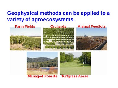
Agricultural geophysics is an emerging discipline that involves non-invasive geophysical techniques for obtaining valuable soil surface and near surface information. The three geophysical methods predominantly used for agricultural purposes are resistivity, electromagnetic induction, and ground-penetrating radar. Magnetrometry, self-potential, and seismic are three additional geophysical methods, all of which have the potential for substantial future use in agriculture, but at present are being employed sparingly or not at all. This webinar presents an overview of geophysical methods currently used and those having future potential in agriculture and the landscape. NRCS field staff is expected to benefit from gaining a greater insight to agricultural geophysical techniques that offer means of quantifying soil variability for better conservation placement and productivity enhancement in the field.
This webinar is presented by the USDA NRCS East National Technology Support Center.